


3D aerial renders are reshaping how real estate developers present large-scale projects. These highly realistic bird’s-eye visualizations help stakeholders better understand layouts, spatial relationships, and project integration with surrounding areas. By merging computer graphics with geospatial data, they simplify complex plans and make them accessible to investors, planners, and buyers.
Key Takeaways:
- Clear Project Visualization: Provides a detailed overhead view of developments, showing how elements like residential, commercial, and recreational spaces connect.
- Improved Communication: Simplifies technical data for broader audiences, speeding up approvals and fostering understanding.
- Boosts Sales: Early visuals help buyers imagine themselves in future spaces, driving pre-sales and interest.
- Regulatory Support: Helps developers address zoning and community concerns with visual clarity.
- Technological Integration: Uses tools like 3ds Max, SketchUp, and drone data for precise, lifelike renders.
These renders are transforming marketing strategies, offering clarity and trust for all stakeholders.
Large City Planning Aerial Rendering | Real-time Architecture Rendering | making of | D5 Render 2.0
Main Benefits of 3D Aerial Renders for Masterplan Marketing
Expanding on the impressive potential of 3D aerial views, this section dives into their key advantages. These renders offer practical benefits that enhance stakeholder presentations and drive sales success.
Clearer Visualization of Spatial Layouts and Context
Traditional 2D plans and blueprints often fall short when it comes to helping stakeholders fully understand the scope of a masterplan. 3D aerial renders address this challenge by offering a comprehensive bird’s-eye view of the entire project. They showcase how various components of a development connect and interact, clearly illustrating the size and scale of future structures in relation to their surroundings. By including nearby buildings and landscapes in the render, these visuals provide a realistic sense of context, which is especially important in the U.S., where developments often need to harmonize with existing neighborhoods.
These renders also bring attention to features that might be overlooked in 2D views. For instance, rooftop terraces, gardens, and other elevated elements become prominent, offering a more complete understanding of the design.
Enhanced Communication and Faster Approvals
3D aerial renders serve as a bridge between technical details and broader audience comprehension, making them invaluable for everyone involved – from architects to community members. They present key information about layouts, dimensions, and integration with surrounding areas in a way that’s easy to understand, ensuring that all parties are on the same page. These realistic visuals also help stakeholders grasp the overall vision and potential impact of major developments, fostering smoother discussions and decision-making.
Urban planners, in particular, benefit from the analytical depth these tools provide. They can evaluate spatial relationships, environmental factors, and even light and shadow patterns, identifying potential challenges early in the planning process. The ability to view the project from different angles supports every stage of planning – from design to evaluation and beyond. This clarity not only speeds up approval processes but also builds confidence among buyers and stakeholders.
Boosting Sales and Buyer Interest
When it comes to marketing a masterplan, visuals can make or break its success. In the highly competitive U.S. market, engaging potential buyers early is crucial. 3D aerial renders create an immersive experience, allowing buyers to imagine themselves within the development long before construction begins. These visuals provide a detailed look at everything from architectural elements to finishing materials, giving buyers a complete picture of the project.
Buyers can also explore the layout, amenities, and how the development fits into its surroundings. Whether the design blends seamlessly with the environment or stands out as a bold statement, the renders vividly showcase these aspects, helping buyers connect with the project on a deeper level.
Key Uses of 3D Aerial Renders in Real Estate Marketing
3D aerial renders have become indispensable in real estate, offering a versatile toolset for developers at every stage, from marketing to regulatory approvals. These visualizations bring concepts to life, helping stakeholders understand and engage with projects in ways traditional methods simply can’t.
Marketing Off-the-Plan Developments
Selling properties before construction begins is no small feat in the U.S. Buyers often struggle to imagine their future home based solely on blueprints. That’s where 3D aerial renders step in, transforming plans into vivid, detailed visuals.
These renders provide a bird’s-eye view of entire neighborhoods, highlighting how homes connect to nearby amenities like parks, trails, and shopping centers. Buyers can easily see where their property sits relative to schools, retail spaces, and major transit routes. This perspective offers insights into commute times, noise levels, and privacy, addressing key concerns for potential homeowners.
One major advantage? Timing. Developers can launch marketing campaigns well before breaking ground, using these visuals to gauge interest, secure pre-sales, and fine-tune pricing strategies. For mixed-use projects, aerial renders go even further, illustrating how residential, commercial, and recreational spaces come together to create a cohesive lifestyle. These visuals not only help buyers but also play a critical role in gaining support from regulators and the community.
Securing Regulatory Approvals and Community Buy-In
When presenting to zoning boards and planning committees, clear communication is everything. Traditional site plans and elevation drawings often fall short in showing how a project will blend into existing neighborhoods. 3D aerial renders fill this gap, offering a comprehensive view that helps decision-makers and community members visualize the broader impact of a development.
These renders are particularly effective in addressing community concerns early in the process. By showing how a project will look and function, developers can preempt objections and foster smoother public hearings. For example, environmental considerations – like preserving trees, managing stormwater, and maintaining wildlife corridors – are much easier to communicate visually than through technical jargon.
Moreover, aerial renders streamline the approval process. They make project details accessible to all stakeholders, reducing misunderstandings and speeding up decision-making. Public meetings become more productive when everyone can see exactly how a development integrates with its surroundings.
Showing Integration with Infrastructure and Natural Features
A project’s success often hinges on how well it integrates with existing infrastructure and the natural environment. 3D aerial renders excel at presenting these relationships in a way that resonates with both buyers and regulators.
From an infrastructure standpoint, these renders make transportation connections crystal clear. They highlight links to highways, public transit, and pedestrian pathways, which are crucial for buyers who prioritize accessibility and walkability. Utility infrastructure is another critical piece. Aerial views can show how developments connect to existing utilities without disrupting neighboring properties, while also illustrating compliance with easement rules.
Natural features are equally important. Renders can showcase how a project preserves mature trees, wetlands, and scenic views. Developers can highlight green corridors, permeable surfaces, and native landscaping, demonstrating thoughtful design choices that appeal to environmentally conscious buyers and regulators alike.
Flood zones and drainage solutions are also key considerations in many U.S. markets. Aerial renders can visualize retention ponds, bioswales, and elevated construction, offering clarity on how stormwater is managed – a factor that can influence both regulatory approval and insurance costs.
Recreational amenities tie it all together. These renders can show how private facilities connect seamlessly to public parks, trails, and waterfronts, emphasizing how a development enhances the community rather than competing with it. This holistic approach strengthens marketability and builds goodwill among current residents and potential buyers alike, driving better decisions and engagement across the board.
sbb-itb-e3e39b4
Tools and Technologies Behind 3D Aerial Renders
Creating 3D aerial renders that stand out requires a combination of advanced software, precise data, and cutting-edge rendering technologies. The tools you choose – and how seamlessly they work together – play a huge role in delivering accurate and lifelike visualizations.
Software for 3D Aerial Rendering
The software used for 3D aerial rendering forms the backbone of any project. Here are some of the key players:
- Autodesk 3ds Max: A go-to choice for architectural visualization, 3ds Max shines when it comes to complex terrains and large-scale environments. Its powerful modeling tools and compatibility with rendering engines make it ideal for expansive masterplans.
- SketchUp Pro: Known for its simplicity, SketchUp Pro is perfect for quick prototypes. While it may not have all the bells and whistles of 3ds Max, its Extensions Warehouse offers plugins that streamline site planning and landscape design.
- Autodesk Civil 3D: When accurate terrain modeling is a priority, Civil 3D delivers. It can handle LIDAR point clouds and contour data, ensuring the terrain matches real-world conditions. This level of precision is crucial for showing how developments fit into existing landscapes.
- Lumion: Lumion is a favorite for creating flythrough animations in record time. Its material library includes everything from vegetation to infrastructure, and the LiveSync feature allows real-time updates between modeling software and the rendering environment.
- Twinmotion: Built on Unreal Engine technology, Twinmotion excels at creating interactive 3D experiences. It’s especially useful for producing virtual reality walkthroughs, letting stakeholders explore projects from any angle, including aerial views.
The Role of Geospatial Data and Photogrammetry
Accurate geospatial data is the foundation of realistic 3D aerial renders. Without it, even the best software can fall short. Here’s how different data sources contribute:
- GIS Data: Geographic Information Systems data forms the base layer, offering details like property boundaries, existing structures, utilities, and natural features such as wetlands or flood zones.
- Drone Photogrammetry: Drones equipped with RGB cameras and GPS receivers have transformed site documentation. They capture overlapping images, which software like Pix4D or Agisoft Metashape processes into detailed 3D point clouds and orthomosaic maps. This method provides accurate, site-wide data.
- LIDAR: For projects needing even finer detail, LIDAR is invaluable. The USGS 3D Elevation Program offers free LIDAR data for much of the U.S. at 1-meter resolution. For higher accuracy, private surveys can deliver even more precise results, especially for vegetation and terrain modeling.
- Satellite Imagery: Providers like Maxar and Planet Labs supply up-to-date aerial photos that capture existing conditions, vegetation changes, and nearby developments. These images are often used as references or textures for ground surfaces and building facades.
Bringing all these data sources together requires careful alignment of coordinate systems. Tools like ArcGIS Pro or QGIS handle the complex transformations needed to ensure everything lines up correctly, whether you’re working with State Plane Coordinate Systems or UTM zones.
Why Photorealistic Rendering Engines Matter
Once the models and data are ready, the rendering engine takes over to create visuals that look almost real. The rendering engine’s ability to simulate lighting, materials, and atmospheric effects makes all the difference.
- V-Ray: Renowned for architectural visualization, V-Ray uses advanced algorithms to replicate how sunlight interacts with surfaces, creating realistic shadows and lighting.
- Corona Renderer: Known for its user-friendly approach, Corona Renderer produces natural-looking results with minimal setup. Its interactive rendering feature lets designers tweak lighting and materials in real time.
- Atmospheric Effects: For aerial renders, effects like haze and volumetric lighting are key to adding depth. These details – like sun rays piercing through clouds – can elevate a scene’s realism.
- Material Accuracy: Modern rendering engines use physically based materials, ensuring that surfaces like asphalt, concrete, vegetation, and water behave as they would in real life.
- GPU Acceleration: Rendering large-scale scenes can be time-consuming, but GPU acceleration speeds things up. NVIDIA’s RTX technology, for example, enables real-time ray tracing, making it possible to produce photorealistic results even under tight deadlines.
Each of these tools and technologies plays a crucial role in crafting 3D aerial renders that are not only visually stunning but also accurate and effective in conveying the vision of a project.
Property Render‘s 3D Aerial Rendering Services
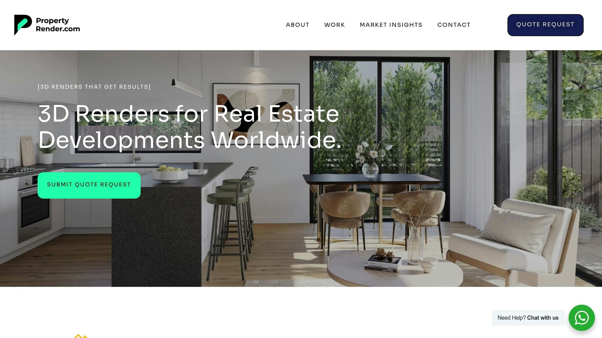
Property Render specializes in creating high-quality 3D visualizations that bring masterplan concepts to life. Designed specifically for U.S. real estate developers and marketers, their work transforms complex plans into visually engaging stories. By blending technical precision with a focus on clear communication, they produce visuals that connect with stakeholders and highlight the value of a project. Their 3D aerial rendering services are a proven tool for enhancing masterplan marketing efforts.
Comprehensive Solutions for Masterplan Marketing
Property Render offers a range of services tailored to masterplan marketing, including:
- Aerial Renders: These provide a bird’s-eye view of entire developments, showcasing the project’s full scope from various angles.
- Site Plan Renders: Technical drawings are reimagined as visually appealing layouts that illustrate buildings, roads, and amenities with clarity.
- Virtual Walkthroughs: Interactive tours give viewers the ability to explore proposed developments and imagine completed projects in detail.
- Photomontage Renders: These combine new project visuals with real-world aerial photography, demonstrating how the development fits seamlessly into its surroundings.
These tools help communicate spatial relationships and project details effectively, making them invaluable for presentations to planning commissions, community groups, and potential buyers.
Benefits for Real Estate Professionals
The visualizations bridge the gap between technical blueprints and the final vision, offering a high level of photorealism that makes it easier for non-technical audiences to understand the project. By incorporating the surrounding site context, these renders foster clearer communication and build trust, showing exactly how new developments will integrate with existing neighborhoods.
Customized Marketing Packages for Better Results
Property Render doesn’t just stop at creating stunning visuals – they also provide tailored marketing packages designed to meet the specific needs of each project. These packages combine various visualization types to support different phases of a development’s lifecycle. Whether it’s an early-stage presentation or a sales launch highlighting lifestyle and investment opportunities, the materials are carefully crafted to align with the project’s goals. This flexible approach helps developers stand out in competitive markets and effectively communicate their project’s value.
The Future of Masterplan Marketing with 3D Aerial Renders
The real estate world is at a turning point, with technology-driven tools reshaping how developers present masterplans and engage with buyers in an increasingly competitive market. Among these tools, 3D aerial renders are proving to be a game-changer, offering a new way to showcase projects and create impactful connections. This shift highlights a future where visuals play an essential role in marketing strategies for large-scale developments.
Key Takeaways
3D aerial renders provide a perspective that ground-level visuals simply can’t match. They offer a bird’s-eye view of entire developments, making it easier to understand the scope and layout of a project. This clarity reduces misunderstandings, speeds up approvals, and helps investors feel more confident about their decisions.
For potential buyers, these aerial views foster a sense of trust. By visualizing themselves in a future neighborhood, buyers can better connect with the project, often influencing their purchasing decisions.
From a marketing standpoint, the benefits are equally compelling. Developers can use these visualizations to launch campaigns and generate interest long before construction even begins. The stunning visuals grab attention, build trust, and help projects stand out in crowded markets, giving developers a competitive edge.
How Property Render Helps Developers Stay Ahead
Property Render offers a range of services tailored to meet the evolving needs of U.S. real estate developers. Their offerings include aerial renders, site plan visualizations, photomontage renders, and virtual walkthroughs – tools designed to elevate project presentations and communicate value effectively.
What sets Property Render apart is their commitment to photorealistic quality and technical precision. Their renders are crafted to resonate with both technical experts and general audiences, ensuring clear communication across the board. By incorporating the surrounding context into their visuals, Property Render helps developers show how new projects will integrate seamlessly with existing neighborhoods, enhancing transparency and trust among stakeholders.
Additionally, their customized marketing packages are designed to adapt to a project’s phase and goals – whether for early-stage presentations or sales launches. This flexibility ensures developers maintain high-quality, consistent communication throughout the entire lifecycle of a development.
Looking Ahead: The Changing Role of Visualization in Real Estate
As technology continues to evolve, the role of visualization in real estate marketing is set to expand even further. The growing demand for aerial rendering services reflects their ability to transform project presentations, and the next step in this evolution is Virtual Reality (VR) integration. VR will offer immersive experiences, enabling potential buyers and stakeholders to "walk through" developments from an aerial perspective, bridging the gap between concept and reality.
At the same time, Artificial Intelligence (AI) is streamlining aerial rendering workflows, making the process faster and more precise without compromising quality. These advancements will make high-quality visualizations accessible to a wider range of developers, leveling the playing field in the industry.
Another emerging trend is the focus on sustainability visualization. Aerial renders now highlight features like green roofs, solar panels, and eco-friendly designs, which are becoming increasingly important as buyers prioritize environmentally conscious developments. These visuals aren’t just about aesthetics – they communicate a project’s commitment to sustainability, a factor that resonates with modern buyers.
The rapid pace of technological innovation is reshaping how real estate projects are marketed. Developers who embrace these tools will not only stand out in competitive markets but also meet the growing demand for clear, visually compelling presentations. By combining cutting-edge visualization techniques with strategic marketing, developers can navigate today’s challenges and prepare for the future with confidence.
FAQs
How do 3D aerial renders make it easier to understand a masterplan compared to traditional 2D blueprints?
3D aerial renders give you a realistic, bird’s-eye view of a project, making it much easier to picture the layout, infrastructure, and surroundings. Unlike flat 2D blueprints, which can feel abstract and tough to interpret, these renders offer a clear and immersive perspective that helps everyone involved better understand the project’s scale and design.
These visuals do more than just look impressive – they help bridge communication gaps between developers, marketers, and potential buyers. By presenting the project in a visually captivating way, 3D aerial renders minimize misunderstandings, speed up decision-making, and showcase the full potential of the development.
How do 3D aerial renders help secure approvals and build community support for real estate projects?
3D aerial renders serve as an excellent resource for navigating regulatory approvals and building community support. By presenting highly detailed, lifelike visuals of proposed developments, they help stakeholders grasp the complexities of a project and its potential effects.
These visualizations make it easier to showcase adherence to zoning regulations and environmental guidelines, streamlining the approval process. They also play a key role in engaging the public by offering stunning, bird’s-eye perspectives of a project. This allows communities to see how the development will integrate with its surroundings and align with their expectations. The result? Greater transparency, trust, and collaboration among developers, regulators, and the public.
How can 3D aerial renders help developers improve their marketing strategies and boost pre-sales?
3D aerial renders give developers a standout tool to boost their marketing efforts by offering vivid, high-level visuals of large-scale projects. These renders deliver a comprehensive, bird’s-eye perspective of layouts, infrastructure, and the surrounding areas, making it easier to convey a project’s value to potential buyers and stakeholders.
By highlighting features like nearby amenities – think parks, schools, or shopping centers – 3D aerial renders help buyers picture the lifestyle a property can provide. This not only sparks interest but can also drive pre-sales. Their visually striking appeal grabs attention and makes decision-making easier, giving developers an edge in a crowded market.


